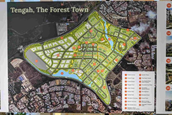
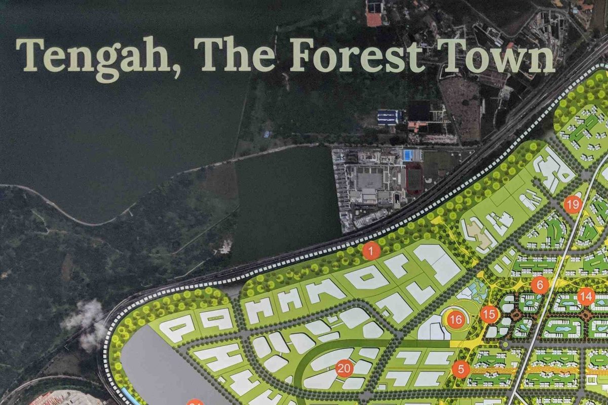
I was rather amused, recently, while looking at some HDB exhibits of the future Tengah “Forest Town”, how they’ve taken care to mask out some areas of the map. These are supposedly sensitive sites, places not open to the public, and presumably someone feels aerial photos of them must be censored.
I chuckled to myself, thinking how in this age of Google Maps (and Google Earth) providing abundant aerial photography free to public viewing, why did they even think this attempt to hide those sites was even going to work.
So apparently the Home Team Academy is fine for everyone to see, but not the Army Logistics Base, Keat Hong Camp, and Tengah Air base.
I know, of course, that Google Maps will have satellite views of all these locations, but I haven’t taken a look at them in a while. Time to check out what new things there are to find? Yup. There were some surprises.
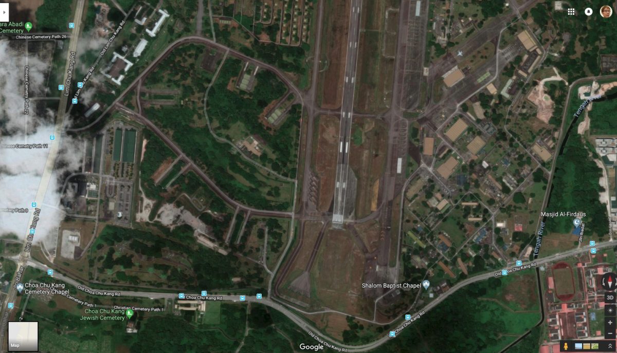
The roads inside Tengah Air Base, at least some of them, are mapped! I checked, while Google doesn’t yet provide navigation directions inside Tengah Air Base, perhaps some day in the future this will come! Find the best route to the canteen? Yeah.
Can you spot the RSAF’s airborne early warning aircraft in the airfield photo above?
Keen observers can probably make out the various structures and figure out what they are for.
I’ve a particular interest in Tengah Air Base because that’s where I served my National Service. I’ve many memories of this place. Some of the buildings come from the Royal Air Force days, i.e. when the British built and operated what was known as RAF Tengah then. Yup, I worked and lived in those buildings from RAF Tengah era.
A funny story, but true, is how we made use of Google Maps during ICT. With the limited and restricted maps provided by the RSAF, seeing how maps are supposed to be “secret” and all that, we simply turned to Google Maps whenever we needed a map of the air base.
With the Internet, Wikipedia, and numerous other information sources, there’s a lot you can learn about this place (and others) that some people think need to be blocked out. For aviation buffs, you can check out the publicly available Aeronautical Information Publication for Singapore (Google for it).
Can you find two other airfields in Singapore? Not Tengah, Sembawang, Paya Lebar, or Changi (nor Changi Air Base East). They’re not published in the aforementioned Aeronautical Information Publication. But you can see it clearly in Google Maps.
View Comment Policy